Weather Blog: Potential Tropical Storm System Developing In The Carolinas, Could Move Northeast
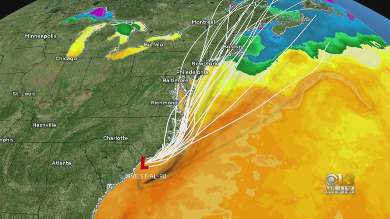
BALTIMORE (WJZ) -- An area of low pressure spinning off of the coast of the Carolinas has a 70 percent chance of formation over the next five days. If it develops, it will become Tropical Storm Fay.
The low will slowly track northeast up the Mid-Atlantic coast Thursday and Friday.
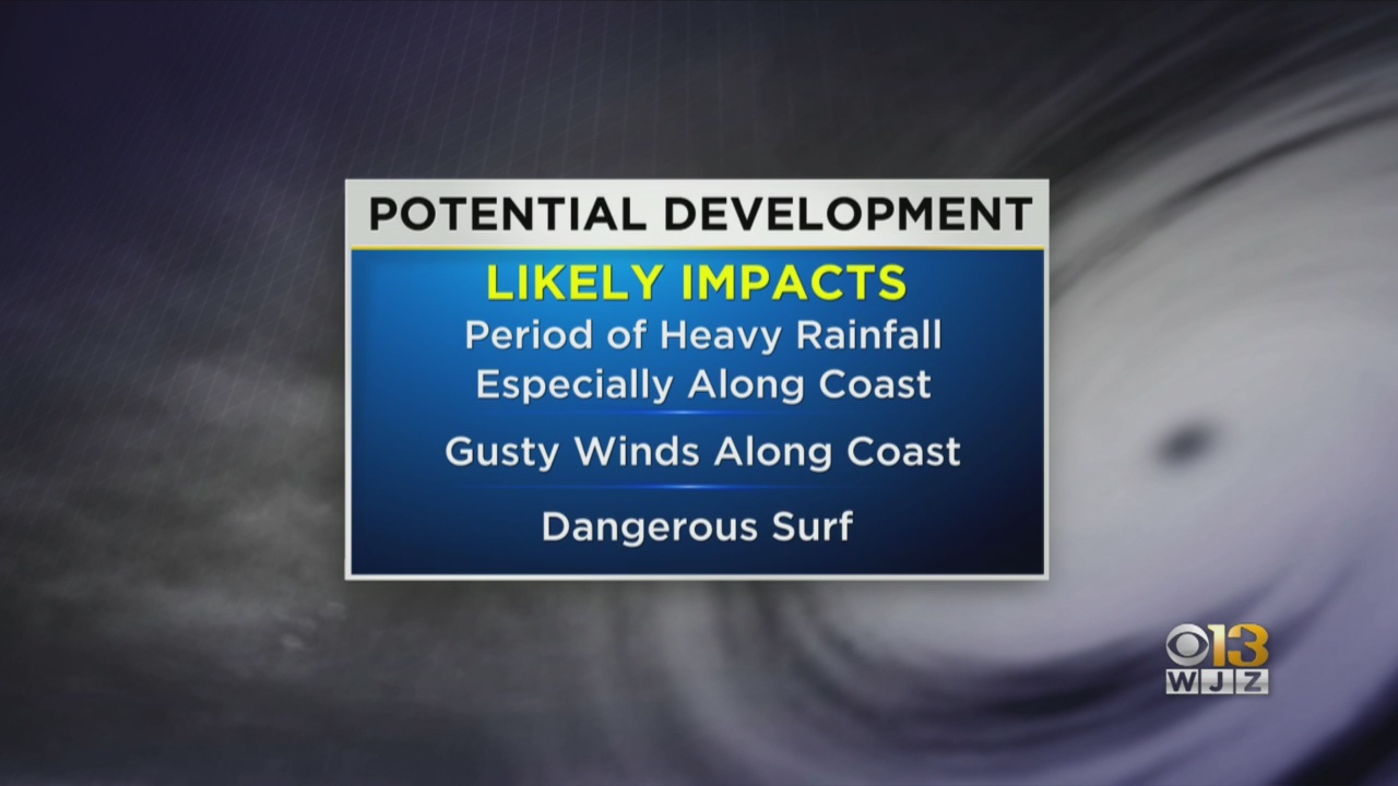
There is still uncertainty about the exact track but more and more it's looking like the bulk of the rain will generally stay east of Maryland. Some rain is possible along the I-95 corridor but isn't likely. The Eastern Shore is more likely to see some heavy rain.
Gusty winds and dangerous surf can be expected along the coast.
In true July fashion, we have chances for afternoon pop up thunderstorms over the next few days. Thanks to the low pressure system, our best bet to see that activity is Friday afternoon into the evening as the low to our tracks to our east.
Stay up-to-date with the latest forecast by downloading the WJZ weather app.