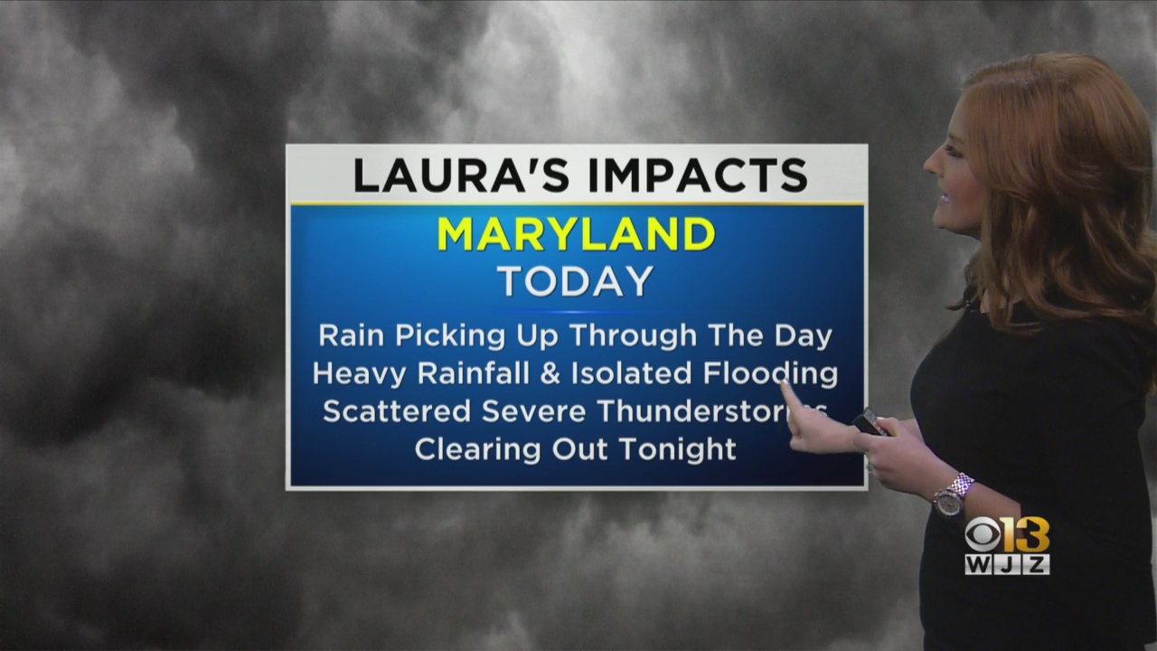
Remnants Of Hurricane Laura Bring Heavy Rain To Maryland Saturday; Severe Storms Possible
BALTIMORE (WJZ) -- Maryland is in for a stormy Saturday.
The remnants of Hurricane Laura combined with a cold front will make for a rainy first half of the weekend over the mid-Atlantic.
Western Maryland was expected to see the bulk of the rain in the morning, while the Baltimore area was set to get the strongest soaking in the early afternoon.
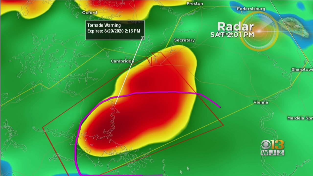
There was a tornado warning for Dorchester County that expired at 2:15 p.m., with a severe thunderstorm seven miles south of Cambridge.
The low-pressure system that was once Laura appears likely to pass just south of Washington, D.C., bringing the heaviest rain to parts of Virginia, southern Maryland and the Eastern Shore.
Heavy rain and damaging winds are the main threats from the system, but there is also a possibility for a few tornadoes.
An areal flood warning was in effect until 2:45 p.m. for Calvert and St. Mary's counties.
The storms should be moving quickly enough to negate a widespread flash flooding threat, but the fact that the ground will still be saturated from Friday evening's storms will contribute to the flooding threat. Generally, rainfall totals of one to two inches are possible.
Things will dry out pretty quickly Saturday evening, and by Sunday, high pressure will be in control, bringing Maryland cool and calm weather.
Stay up-to-date with the latest forecast by downloading the WJZ weather app.