Accumulating Snowfall Possible For Baltimore Area Tuesday Night & Wednesday
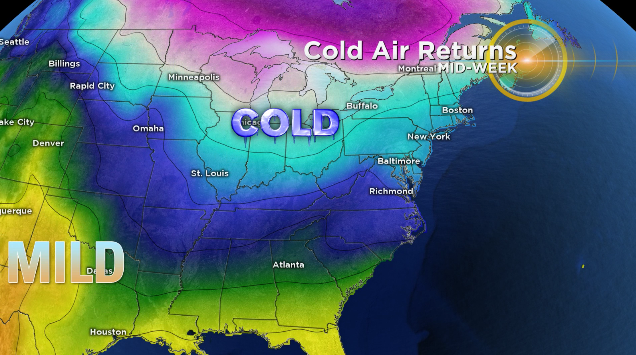
BALTIMORE (WJZ) -- A strong cold front will pass through Maryland on Monday, ushering in significantly colder air for the Mid-Atlantic region.

Another system is expected to arrive in the region late Tuesday night into Wednesday morning. Numerical models continue to lean toward a scenario where some of us could see our first accumulating snowfall of the season.
This is a very tricky forecast as WJZ's meteorologists continue to monitor forecast trends.
There's a gulf between the GFS model, which forecasts roughly three inches of snow for the Baltimore metropolitan area, and the Euro model, which is calling for significantly less snowfall.
Overall, there has been a downward trend in moisture availability. At this point, a forecast of less than an inch of accumulating snow for the Baltimore area seems reasonable.
The National Weather Service, which is monitoring the threat of a winter storm, predicts a 30-percent chance of precipitation with the potential for snow as early as 4 a.m. Wednesday.
The NWS anticipates both snow and rain before 1 p.m., rain until 4 p.m. Wednesday and then snowfall in the afternoon and evening hours.
The weather could leave the roads slick and wet on Wednesday, so it's recommended that drivers exercise caution.
Stay with WJZ on air and online for your latest forecast.