Maryland Weather: Hot & Sticky, Plus Thursday's An Alert Day
BALTIMORE (WJZ) -- Your WJZ First Alert Weather Team has issued an Alert Day for Thursday afternoon into the night.
A strong cold front will track across Maryland, triggering strong to severe storms.
Before the front arrives, a very hot and sticky air mass is in place.
Highs will be in the mid 90s again for Wednesday afternoon.
BWI hit 96° on Tuesday, making it the hottest day of the year so far!
We didn't quite match the record for the day, which was 97°.
.With moderate humidity going for us, today's forecast high of 94° will feel more like the upper 90s.
We'll see mostly to party sunny skies today with a few showers or thunderstorms possible in the evening.
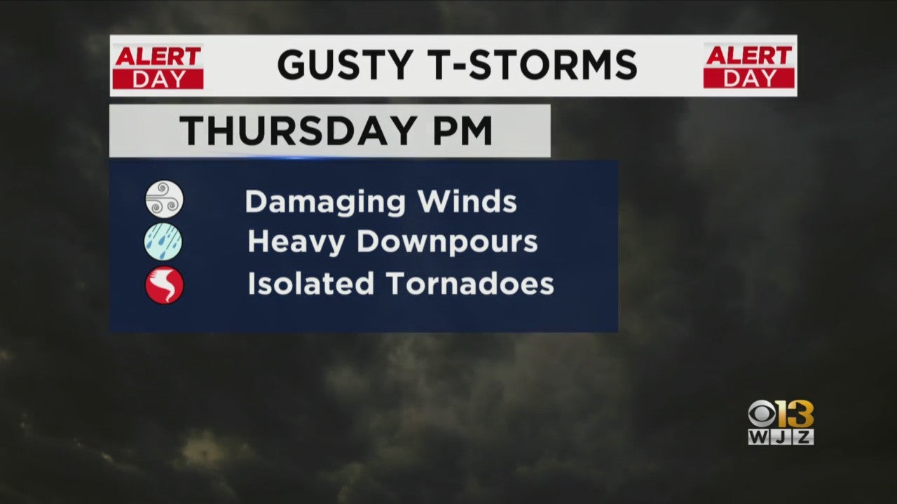 For Thursday's Alert Day, much of the state is facing a slight risk for severe weather.
Think of slight as a 2 out of 5 on the scale with 5 being the highest threat and 1 being the lowest.
Western Maryland is under a marginal risk indicating a 1 out of 5 threat level.
The main threat is damaging winds.
There is the possibility for isolated tornadoes but that threat seems low at this time.
These storms will likely produce heavy downpours but the flooding threat is minimal since this system should move through quickly.
The last bit of storms should clear out of here before midnight with Friday shaping up to be mostly sunny and much cooler.
Our weekend looks pretty wonderful. Mostly sunny skies, highs near 80 and low humidity.