Weather Watch: Dangerous Winds May Accompany Thunderstorms
BALTIMORE (WJZ) -- A warm front crossed the Maryland area on Wednesday with a few sprinkles and some very light sleet—and worse weather is on the way.
These weather conditions were scattered across the border shared between Maryland and Pennsylvania.
The warm front has continued to move north and northeast away from the area.
Temperatures started out in the low to mid-30s and jumped into the mid-50s by the afternoon.
They will stay in the upper 40s overnight and a breezy south wind will accompany them.
On Thursday, things will be different.
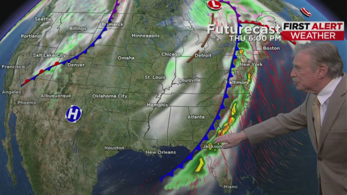
WJZ has declared Thursday an alert day due to the risk of strong to severe thunderstorms by afternoon or evening in the state.
Any storm that does develop will have the potential to produce damaging wind gusts of over 50 miles per hour.
There may be some small hail and even a very isolated tornado threat.
Current models suggest the strongest storms may be across extreme southern Maryland and the lower Eastern Shore.
But those models could change overnight.
So the entire state is under a slight chance of severe storms on Thursday.
WJZ will be monitoring the weather threat all day.
By Friday, drier and cooler breezy conditions will follow and the sun will return.